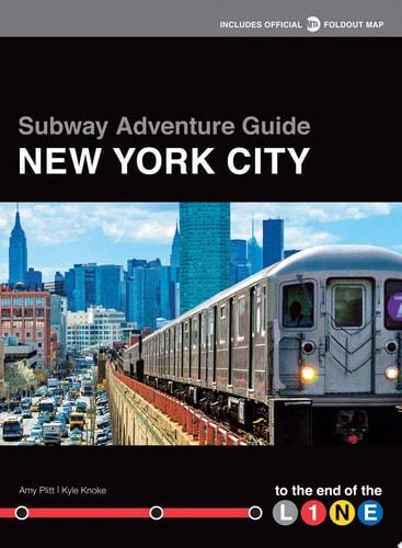
1. **Off-the-Beaten-Path Urban Exploration**
The book reframes New York City travel by guiding readers away from iconic tourist destinations toward lesser-known neighborhoods and hidden local gems accessible by subway. It champions the idea that the most authentic version of a city exists beyond its postcard image, discoverable by those willing to venture further.

The book's central premise is: the further you ride from the center, the more genuinely you experience a city.

Connect to books about: urban exploration, travel writing, psychogeography, alternative city guides.

---

2. **Public Transit as a Framework for Discovery**
Organized around the city's 30+ subway lines and their end-of-the-line stops, the book treats the transit network itself as a structural lens through which to explore urban space. Riding the subway to its terminus becomes a deliberate act of curiosity rather than mere commuting.

The subway is framed as more than infrastructure — it is described as "an artery connecting different areas of the city" and "a great equalizer."

Connect to books about: public transportation history, urban mobility, transit infrastructure, city planning.

---

3. **New York City's Five Boroughs & Neighborhood Identity**
The book spans all five boroughs, highlighting the distinct character of neighborhoods like Bay Ridge, Far Rockaway, Flatbush, and Riverdale. Each destination is treated as its own world, with unique food, culture, landmarks, and local history — pushing back against Manhattan-centric narratives of NYC.

The book's implicit argument is that New York City is not one city, but dozens of distinct communities.

Connect to books about: New York City neighborhoods, borough history, urban community identity, place-based writing.

---

4. **Local Food Culture & Culinary Geography**
Restaurants, bars, and food recommendations are central to each destination entry, with specific guidance on what to order and where to go. Ethnic cuisines and neighborhood eateries serve as cultural markers of each community, linking food to place and identity.

The book treats a neighborhood's food scene as one of the most reliable windows into its soul.

Connect to books about: food culture, culinary travel, ethnic cuisines, restaurant guides, food and place.

---

5. **Urban History & Historic Landmarks**
Each neighborhood stop is given historical context — from Civil War-era cemeteries to Revolutionary War battle sites to century-old parks. The book weaves local history into its practical guide format, treating the city's past as inseparable from its present landscape.

The guide reveals history embedded in the everyday — a reservoir turned park, a cemetery that became a neighborhood's namesake, a house that survived a war.

Connect to books about: New York City history, urban heritage, preservation, local and neighborhood history.

---

6. **The Art of Slow & Purposeful Travel**
Rather than maximizing sightseeing efficiency, the book encourages readers to slow down, follow a single subway line to its end, and immerse themselves in wherever they arrive. It reframes travel as a practice of openness and discovery rather than itinerary completion.

The book's philosophy aligns with the idea that the journey (or the line you ride) shapes what you find as much as the destination itself.

Connect to books about: slow travel, mindful tourism, wandering and flânerie, travel philosophy.

---

7. **Ethnic Diversity & Multicultural Urban Life**
The end-of-the-line neighborhoods featured in the book are among NYC's most ethnically diverse — enclaves of immigrant communities, multilingual streets, and culturally specific institutions. The book implicitly celebrates this diversity as one of New York's defining and underappreciated qualities.

Riding to the end of the line is, in many cases, riding toward communities that mainstream tourism overlooks entirely.

Connect to books about: immigration, multiculturalism, ethnic enclaves, diaspora communities, urban diversity.

---

8. **Practical Guidebook Design & Navigational Cartography**
The book is deliberately structured for usability — with maps, walking distance overlays, subway line organization, and full-color photography. It reflects a tradition of practical urban guidebook design that balances aesthetic appeal with functional navigation tools.

The format itself is a statement: good design makes a city accessible to everyone, not just those who already know it.

Connect to books about: cartography, urban mapping, travel guide design, wayfinding, city atlases.