Unpositioned
Something is wrong
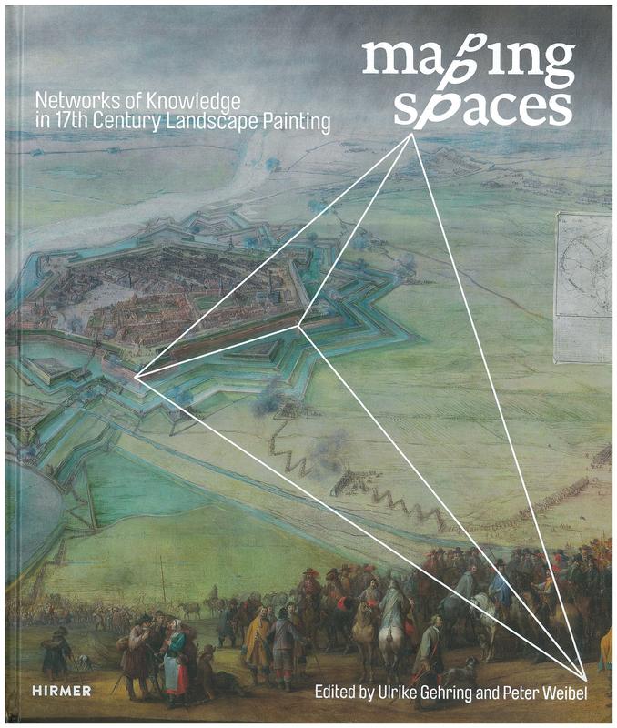
Mapping spaces : networks of knowledge in 17th century landscape painting / edited by Ulrike Gehring and Peter Weibel
This volume examines the intersection of seventeenth-century science and Dutch landscape painting, focusing on how mapping and remote sensing influenced artistic practice. It includes over 350 illustrations and contributions from more than forty scholars.
CONNECTIONS
No connections
LOCATION HISTORY
No location history available for this book.
FULL RECORD
Accession Number: 12580
Site: Vernon O Content
Collection: N/A
Location: N/A
Binding Type: Hard Back
Book Images
Hover to see live images
No live
No live
VERNON DATA
Cartography in art
Cartography/Surveying/Engineering/Technology/Science
Landscape painting/Painting/Graphic arts/Art/Arts