Back to Books
G:S1:7
3
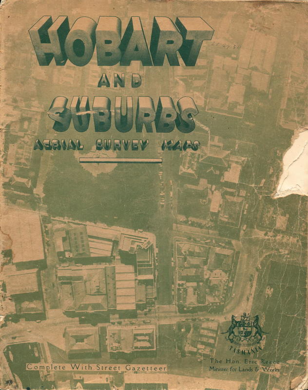
Hobart and suburbs aerial survey maps complete with street gazetteer / published by authority, the Hon. Eric Reece, Minister for Lands and Works
Diagnose
Edit position
Edit position
Last set 6 hours, 10 minutes ago. Manual moves override automatic placement until the next shelfie/spine match.
Loading shelves…
Hobart and suburbs aerial survey maps complete with street gazetteer / published by authority, the Hon. Eric Reece, Minister for Lands and Works
by Department of Lands and Surveys, Tasmania
No description yet.
Accession
27875
ISBN
—
Publisher
Department of Lands and Surveys, Tasmania
Book Images
Reference and live side by side Hover to see live images
Reference

Live

No live
No live
CONNECTIONS
No connections
State
- on_shelf
- True
- position_updated_at
- 2026-06-19 20:20
- orientation
- vertical
- position_confidence
- 1.00
Details
Physical
- binding_type
- Hard Back
- dimensions
- none captured
- spine_text
- none captured
Metadata
- Book form
LOCATION HISTORY
4 moves in 14d
G:S1:7
3
Current
vertical
1.00 conf
6 hours, 10 minutes ago
Moved to this shelf
G:N1:21
5
vertical
1.00 conf
6 hours, 36 minutes ago
Moved to this shelf
G:W1:5
4
vertical
1.00 conf
13 hours, 17 minutes ago
Moved to this shelf
G:N1:28
6
vertical
1.00 conf
13 hours, 38 minutes ago
Moved to this shelf
Book Location
Updated 6 hours, 10 minutes agoBook Images
Reference and live side by side Hover to see live images
Reference
Live
No live
No live
Vernon snapshot
View liveFrozen copy of Vernon's record from the last sync. Fields tagged → flow back into the Pulse record.
Last synced 2026-06-19 21:23 (5 hours, 7 minutes ago)
Identity
Drives Pulse state
Descriptive
Subjects & people
Cover image
Raw Vernon JSON
click to inspect
The source payload behind the snapshot above.
Raw Vernon JSON
click to inspectThe source payload behind the snapshot above.
Use ⌘F to search once expanded.
"slug": "hobart-and-suburbs-aerial-survey-maps-complete-with-street-gazetteer-published-by-authority-the-hon-eric-reece-minister-for-lands-and-works"
"opacObjectId": "39391"
"opacCollection":
"opacCollectionId": "1"
"imagesCollection":
"images":
"[0]":
"imageId": "44813"
"cssColors":
"[0]":
"hex": "bdb76b"
"hue": 56
"rank": 1
"presence": 91.56
"colorName": "darkkhaki"
"lightness": 58
"colorGroup": "yellow"
"saturation": 38
"formattedColorName": "dark khaki"
"[1]":
"hex": "228b22"
"hue": 120
"rank": 2
"presence": 3.58
"colorName": "forestgreen"
"lightness": 34
"colorGroup": "green"
"saturation": 61
"formattedColorName": "forest green"
"[2]":
"hex": "d2b48c"
"hue": 34
"rank": 3
"presence": 3.57
"colorName": "tan"
"lightness": 69
"colorGroup": "brown"
"saturation": 44
"formattedColorName": "tan"
"[3]":
"hex": "f5deb3"
"hue": 39
"rank": 4
"presence": 1.25
"colorName": "wheat"
"lightness": 83
"colorGroup": "brown"
"saturation": 77
"formattedColorName": "wheat"
"rawColors":
"[0]":
"hex": "91835c"
"hue": 44
"rank": 1
"presence": 91.56
"lightness": 46
"saturation": 22
"[1]":
"hex": "37503a"
"hue": 127
"rank": 2
"presence": 3.58
"lightness": 26
"saturation": 18
"[2]":
"hex": "cfa679"
"hue": 31
"rank": 3
"presence": 3.57
"lightness": 64
"saturation": 47
"[3]":
"hex": "f7e0bd"
"hue": 36
"rank": 4
"presence": 1.25
"lightness": 85
"saturation": 78
"[4]":
"hex": "ceb99c"
"hue": 34
"rank": 5
"presence": 0.01
"lightness": 70
"saturation": 33
"[5]":
"hex": "514822"
"hue": 48
"rank": 6
"presence": 0.02
"lightness": 22
"saturation": 40
"[6]":
"hex": "4c3c1c"
"hue": 40
"rank": 7
"presence": 0.0
"lightness": 20
"saturation": 46
"imageLabels":
"[0]":
"count": 11837
"score": 65.33
"status": "auto_verified"
"imageLabel": "Poster"
"imageLabelId": 21
"[1]":
"count": 19175
"score": 63.2
"status": "auto_verified"
"imageLabel": "Publication"
"imageLabelId": 23
"imageDerivatives":
"[0]":
"url": "https://browser.mona.net.au/records/images/large/30745/7627c4390a9684645a15ba4f727681283fe9dcdc.jpg"
"width": "632"
"height": "800"
"identifier": "LARGE"
"[1]":
"url": "https://browser.mona.net.au/records/images/medium/30745/7627c4390a9684645a15ba4f727681283fe9dcdc.jpg"
"width": "316"
"height": "400"
"identifier": "MEDIUM"
"[2]":
"url": "https://browser.mona.net.au/records/images/nano/30745/7627c4390a9684645a15ba4f727681283fe9dcdc.jpg"
"width": "28"
"height": "35"
"identifier": "NANO"
"[3]":
"url": "https://browser.mona.net.au/records/images/small/30745/7627c4390a9684645a15ba4f727681283fe9dcdc.jpg"
"width": "118"
"height": "150"
"identifier": "SMALL"
"[4]":
"url": "https://browser.mona.net.au/records/images/tiny/30745/7627c4390a9684645a15ba4f727681283fe9dcdc.jpg"
"width": "59"
"height": "75"
"identifier": "TINY"
"[5]":
"url": "https://browser.mona.net.au/records/images/xlarge/30745/7627c4390a9684645a15ba4f727681283fe9dcdc.jpg"
"width": "948"
"height": "1200"
"identifier": "XLARGE"
"totalImages": 1
"objectSearchScore": 0.3090582
"opacObjectFieldSets":
"[0]":
"identifier": "accession_no"
"opacObjectFields":
"[0]":
"value": "27875"
"[1]":
"identifier": "name"
"opacObjectFields":
"[0]":
"value": "Hobart and suburbs aerial survey maps complete with street gazetteer / published by authority, the Hon. Eric Reece, Minister for Lands and Works"
"opacObjectFieldAttributes":
"[0]":
"key": "title"
"value": "Hobart and suburbs aerial survey maps complete with street gazetteer / published by authority, the Hon. Eric Reece, Minister for Lands and Works"
"[2]":
"identifier": "other_name"
"opacObjectFields":
"[0]":
"value": ""
"[3]":
"identifier": "artist_last_first"
"opacObjectFields":
"[0]":
"value": "Department of Lands and Surveys, Tasmania"
"[4]":
"identifier": "prod_pri_date"
"opacObjectFields":
"[0]":
"value": "31 May 1948"
"opacObjectFieldAttributes":
"[0]":
"key": "earliest_date"
"value": "1948-05-31Z"
"[1]":
"key": "latest_date"
"value": "1948-05-31Z"
"[5]":
"identifier": "prod_pri_date_notes"
"opacObjectFields":
"[0]":
"value": ""
"[6]":
"identifier": "edition"
"opacObjectFields":
"[0]":
"value": ""
"[7]":
"identifier": "brief_desc"
"opacObjectFields":
"[0]":
"value": "An atlas of Hobart."
"[8]":
"identifier": "measure_desc"
"opacObjectFields":
"[0]":
"value": ""
"[9]":
"identifier": "credit_line"
"opacObjectFields":
"[0]":
"value": ""
"[10]":
"identifier": "curr_loc_status"
"opacObjectFields":
"[0]":
"value": "On Shelf"
"opacObjectFieldAttributes":
"[0]":
"key": "search"
"value": "curr_loc_status:"On Shelf""
"[11]":
"identifier": "ob_status"
"opacObjectFields":
"[0]":
"value": "Accessioned"
"[12]":
"identifier": "lender"
"opacObjectFields":
"[0]":
"value": ""
"[13]":
"identifier": "copyright_owner"
"opacObjectFields":
"[0]":
"value": ""
"[14]":
"identifier": "copyright_type"
"opacObjectFields":
"[0]":
"value": ""
"[15]":
"identifier": "copyright_start"
"opacObjectFields":
"[16]":
"identifier": "copyright_expiry"
"opacObjectFields":
"[17]":
"identifier": "copyright_notes"
"opacObjectFields":
"[0]":
"value": ""
"[18]":
"identifier": "curr_loc"
"opacObjectFields":
"[0]":
"value": "Zone N2/Level 1/Phrontisterion/MONA"
"[19]":
"identifier": "object_type"
"opacObjectFields":
"[0]":
"value": "Books/Document genres/Information forms/Visual and Verbal Communication"
"opacObjectFieldAttributes":
"[0]":
"key": "search"
"value": "object_type:"Books/Document genres/Information forms/Visual and Verbal Communication""
"[20]":
"identifier": "collection"
"opacObjectFields":
"[0]":
"value": "Main Collection/Library"
"opacObjectFieldAttributes":
"[0]":
"key": "search"
"value": "collection:"Main Collection/Library""
"[21]":
"identifier": "prod_pri_place"
"opacObjectFields":
"[0]":
"value": "nipaluna | Hobart/lutruwita | Tasmania/Australia"
"[22]":
"identifier": "prod_pri_publisher"
"opacObjectFields":
"[0]":
"value": "Department of Lands and Surveys, Tasmania"
"[23]":
"identifier": "physical_notes"
"opacObjectFields":
"[0]":
"value": ""
"[24]":
"identifier": "language"
"opacObjectFields":
"[0]":
"value": "English"
"[25]":
"identifier": "isbn_issn"
"opacObjectFields":
"[0]":
"value": ""
"[26]":
"identifier": "user_sym_1"
"opacObjectFields":
"[0]":
"value": "912.946 HOB"
"[27]":
"identifier": "usual_loc_being"
"opacObjectFields":
"[0]":
"value": "Zone N2/Level 1/Phrontisterion/MONA"
"[28]":
"identifier": "subject_class"
"opacObjectFields":
"[0]":
"value": "Atlases/Maps/Cartographic materials/Non-book materials/Library materials"
"opacObjectFieldAttributes":
"[0]":
"key": "search"
"value": "subject_class:"Atlases/Maps/Cartographic materials/Non-book materials/Library materials""
"[29]":
"identifier": "subject_date"
"opacObjectFields":
"[30]":
"identifier": "subject_event"
"opacObjectFields":
"[0]":
"value": ""
"[31]":
"identifier": "subject_period"
"opacObjectFields":
"[0]":
"value": ""
"[32]":
"identifier": "subject_object"
"opacObjectFields":
"[0]":
"value": ""
"[33]":
"identifier": "subject_person"
"opacObjectFields":
"[0]":
"value": ""
"[34]":
"identifier": "subject_place"
"opacObjectFields":
"[0]":
"value": "nipaluna | Hobart/lutruwita | Tasmania/Australia"
"opacObjectFieldAttributes":
"[0]":
"key": "search"
"value": "subject_place:"nipaluna | Hobart/lutruwita | Tasmania/Australia""
"[35]":
"identifier": "assoc_person"
"opacObjectFields":
"[0]":
"value": ""
"[36]":
"identifier": "assoc_place"
"opacObjectFields":
"[0]":
"value": ""
"[37]":
"identifier": "assoc_event"
"opacObjectFields":
"[0]":
"value": ""
"[38]":
"identifier": "assoc_object"
"opacObjectFields":
"[0]":
"value": ""
"[39]":
"identifier": "user_sym_9"
"opacObjectFields":
"[0]":
"value": ""
"relationshipsCollection":
"relationships":
"[0]":
"relatedRecords":
"[0]":
"slug": "department-of-lands-and-surveys-tasmania"
"title": "Department of Lands and Surveys, Tasmania"
"relatedRecordId": "40416"
"relationshipId": "object_prod_pri_person"
"relatedRecordType": "person"
"totalRelatedRecords": 1
"totalRelationships": 1